India, being the most diverse country with plenty of natural as well heritage attractions along with its cultural assets draws guests from every corner of the world. Discover India Travel services offer personalized itineraries tailored to your preferences, including luxurious and distinctive experiences accompanied by knowledgeable local guides. The endless possibilities of travel in this subcontinent is best encapsulated in our featured travel itineraries and works best as the guiding samples to chalk out an incredible India vacation blended in your own taste and preferences.
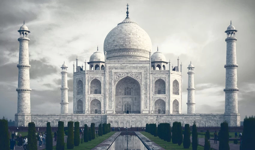
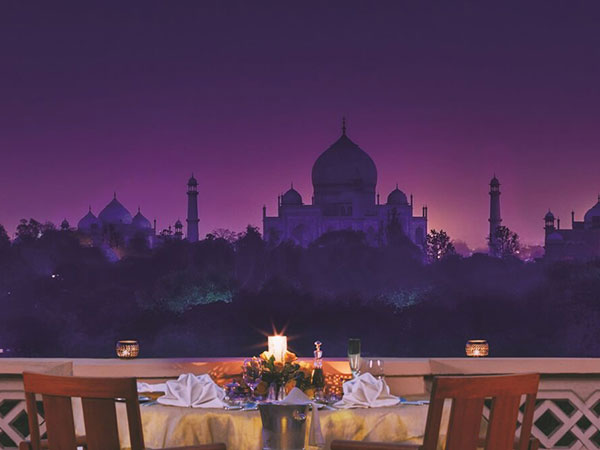
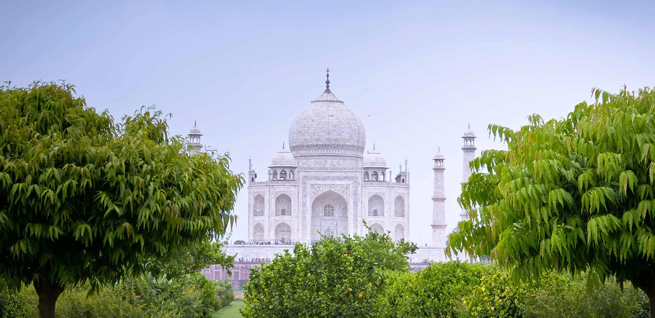
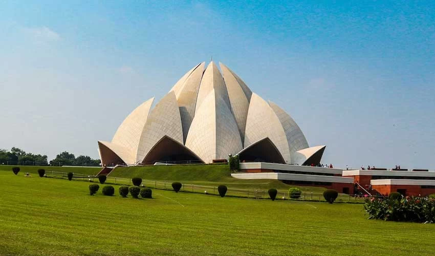
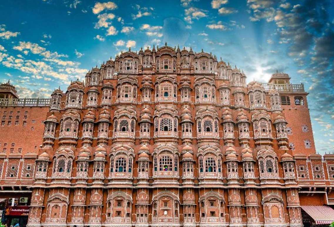
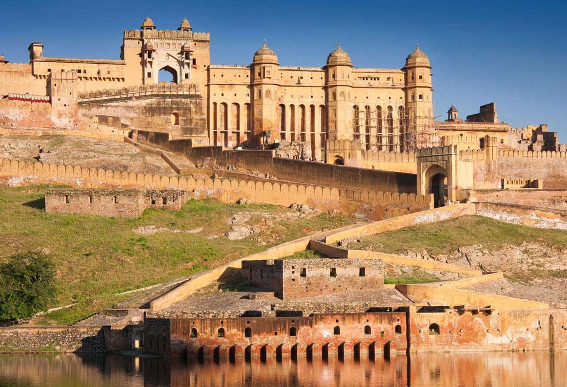
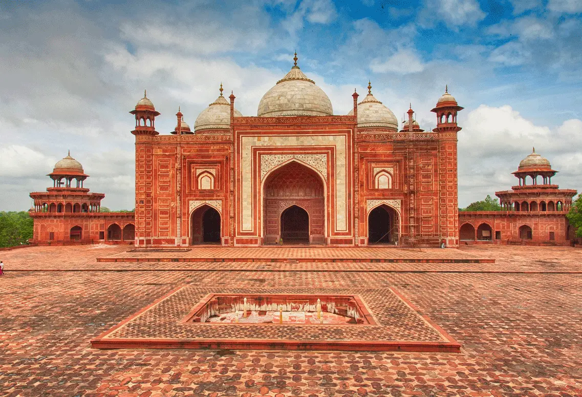
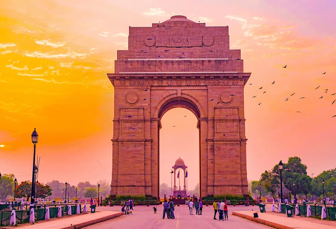
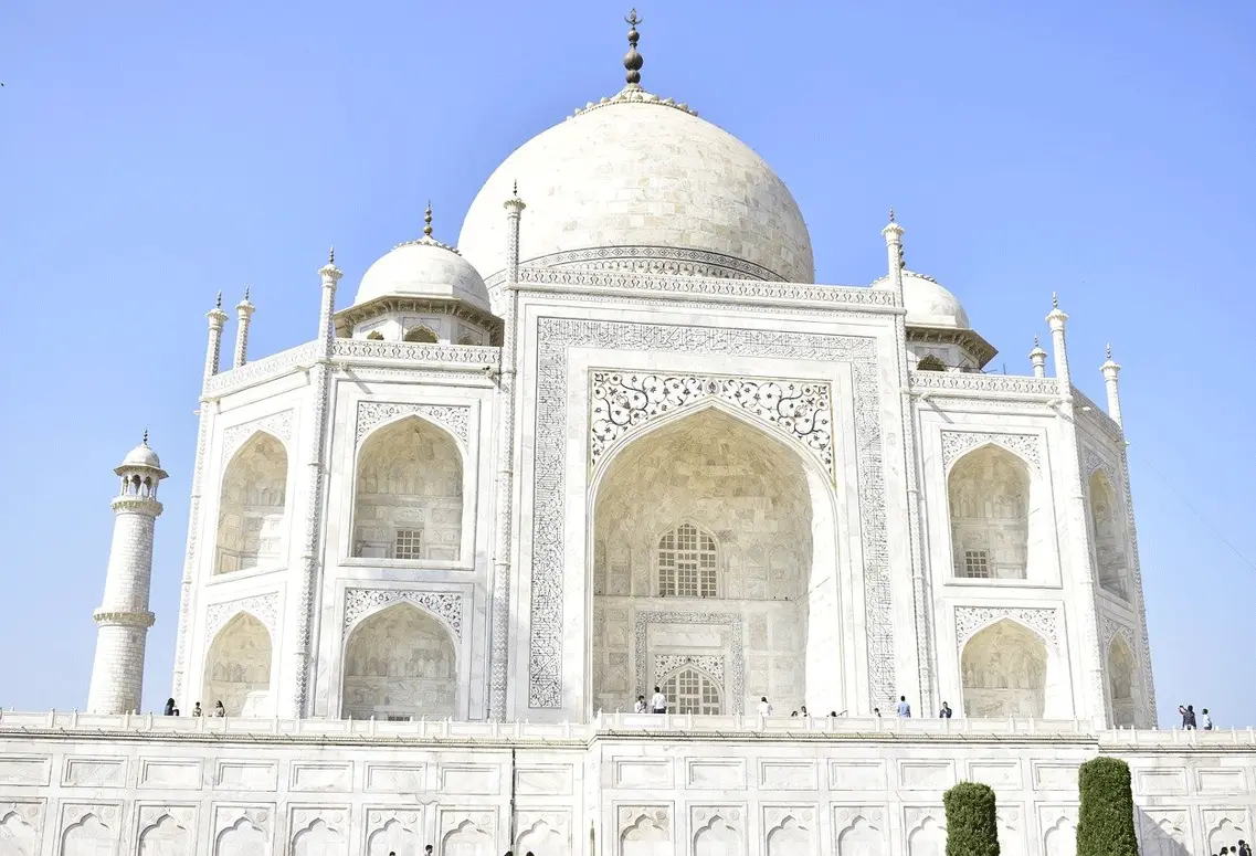
If you want to experience the grandeur, glory, and history of India's Golden Triangle Tour, our Itinerary is the perfect option. This tour covers three famous cities -...
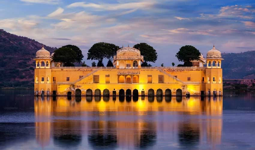
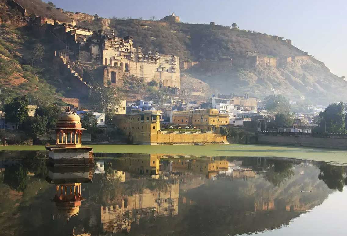
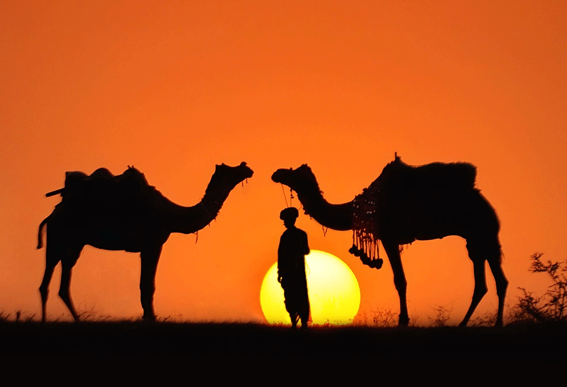
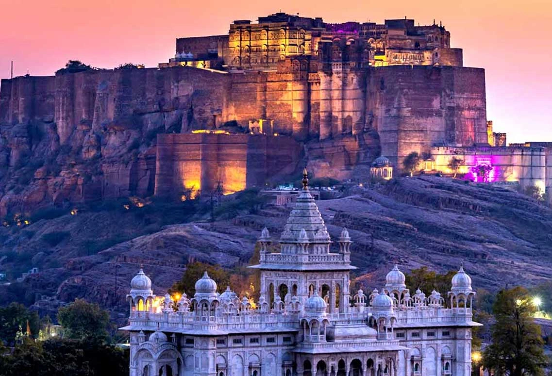
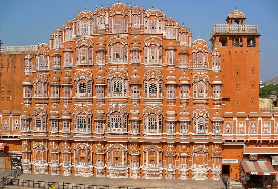
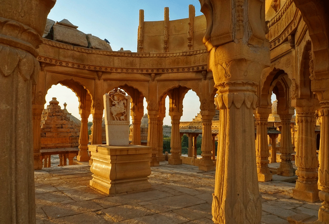
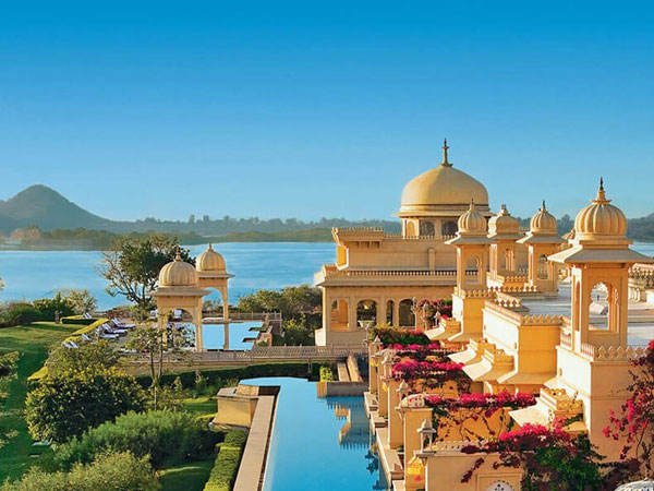
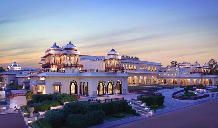
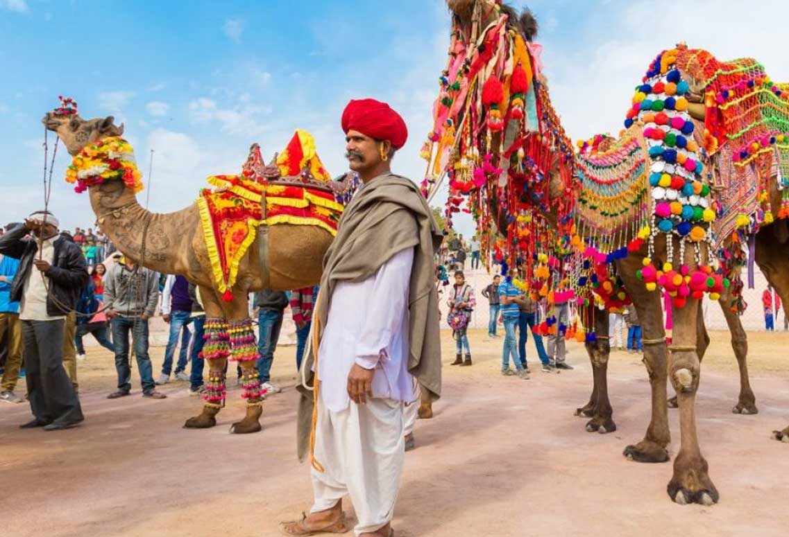
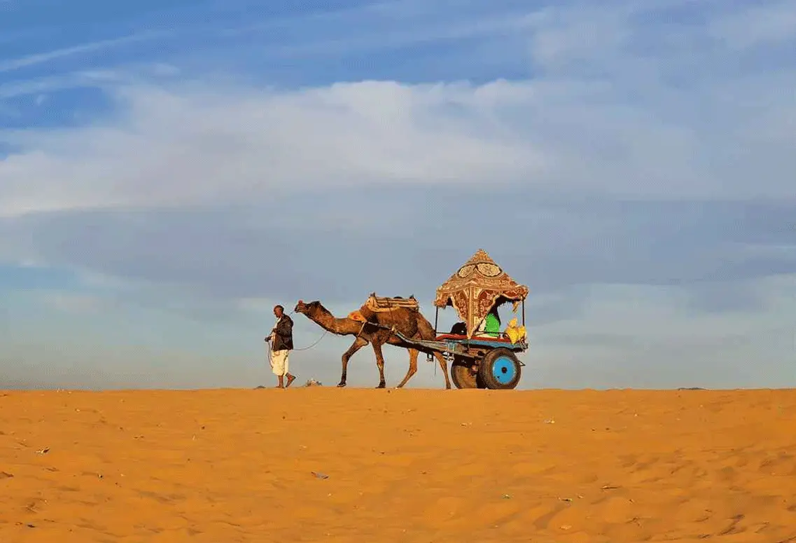
This beautiful state is home to stunning architecture, exquisite handicrafts, vibrant culture, and delicious cuisine. Nestled within a vast desert, Rajasthan is known for its romantic and chivalrous...
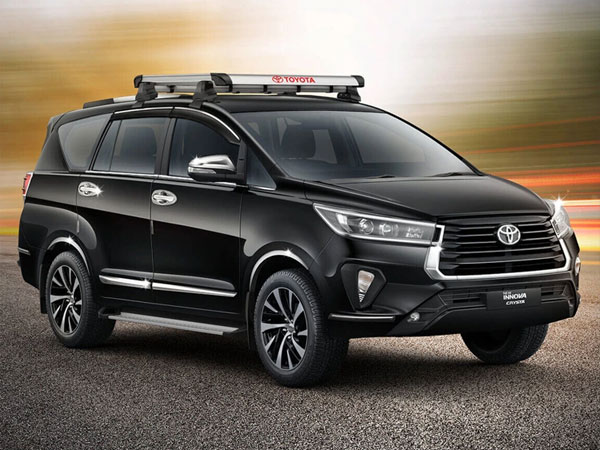
Experience the perfect balance between work and personal life with Same Day Tour Packages. Despite the daily hustle and bustle, taking a break and spending quality time with...
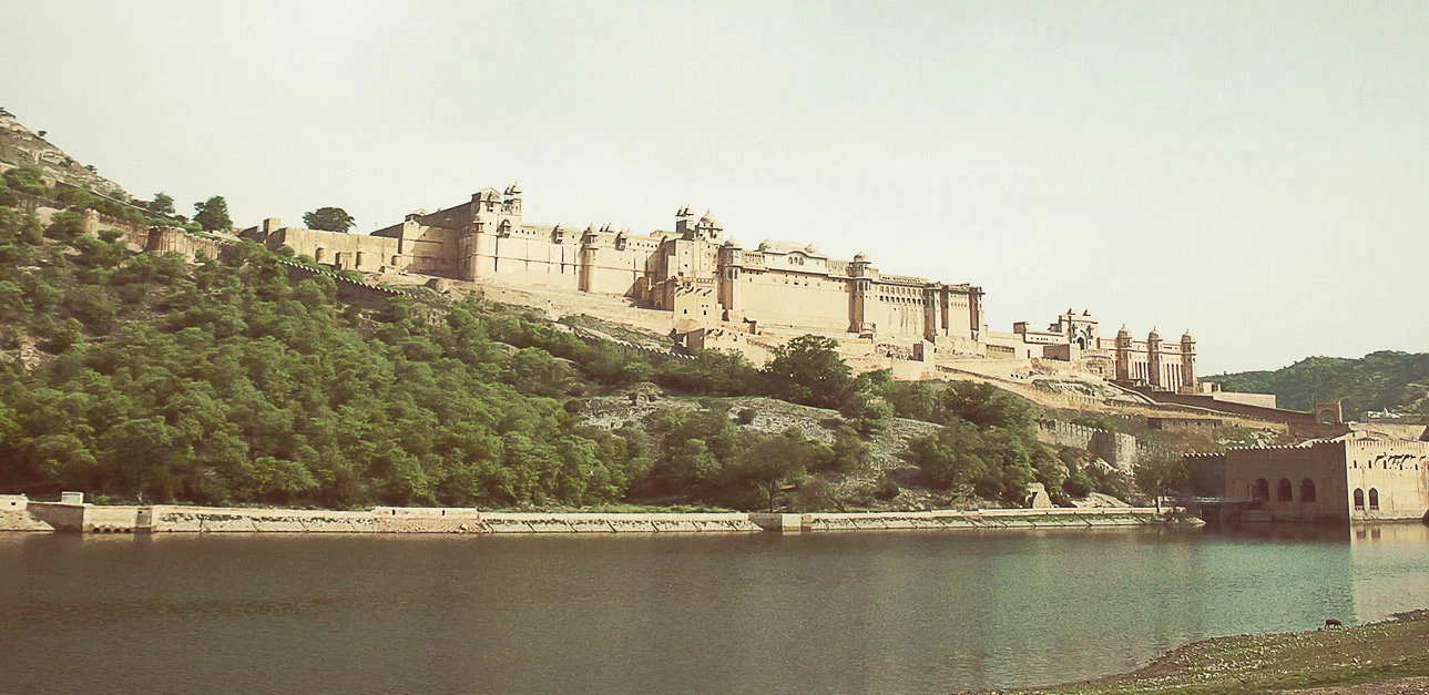
The luxury North India tours offer a glimpse into the rich history and ancient monuments of the region, which includes the states of Rajasthan, Punjab, Delhi, Himachal Pradesh,...
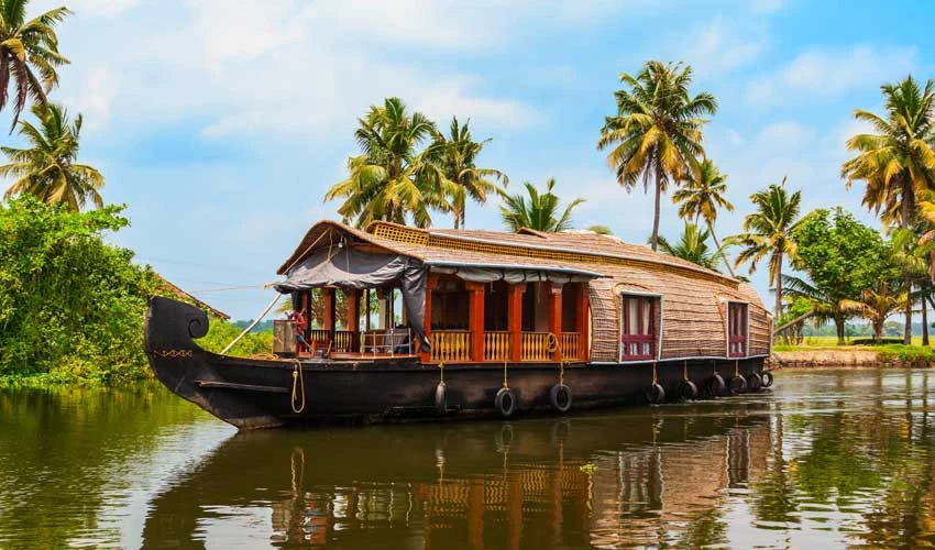
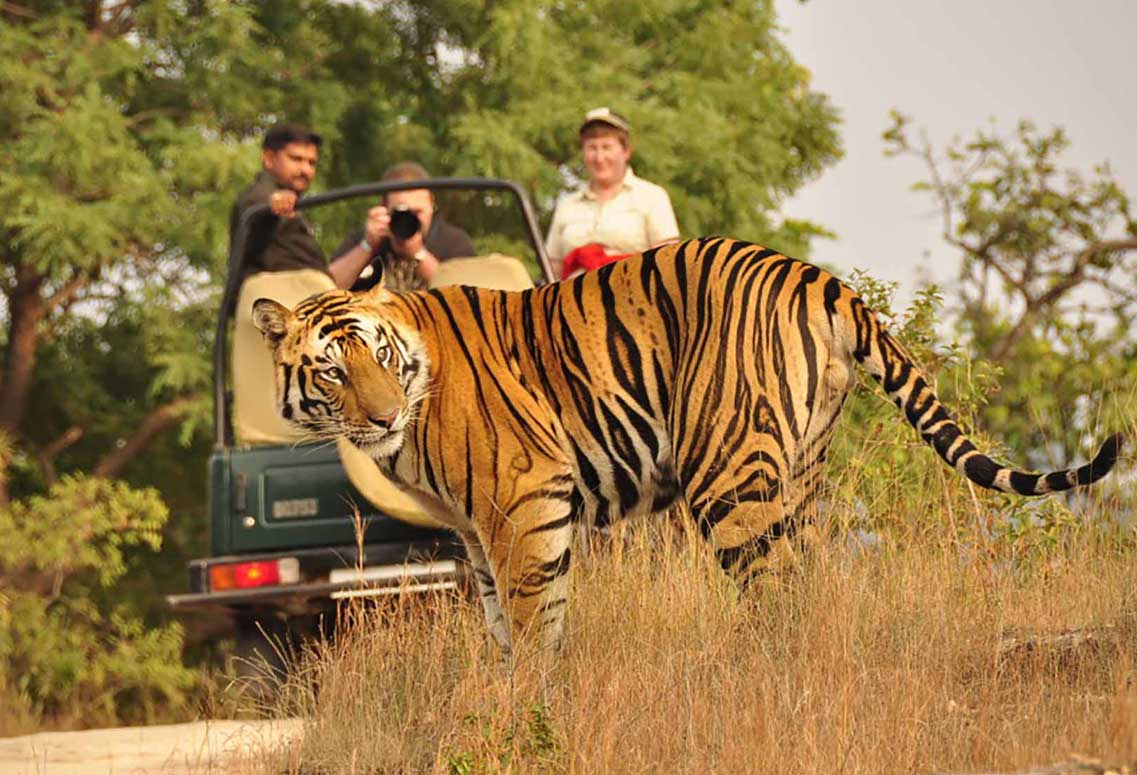
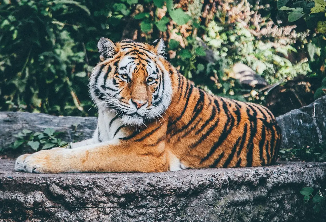
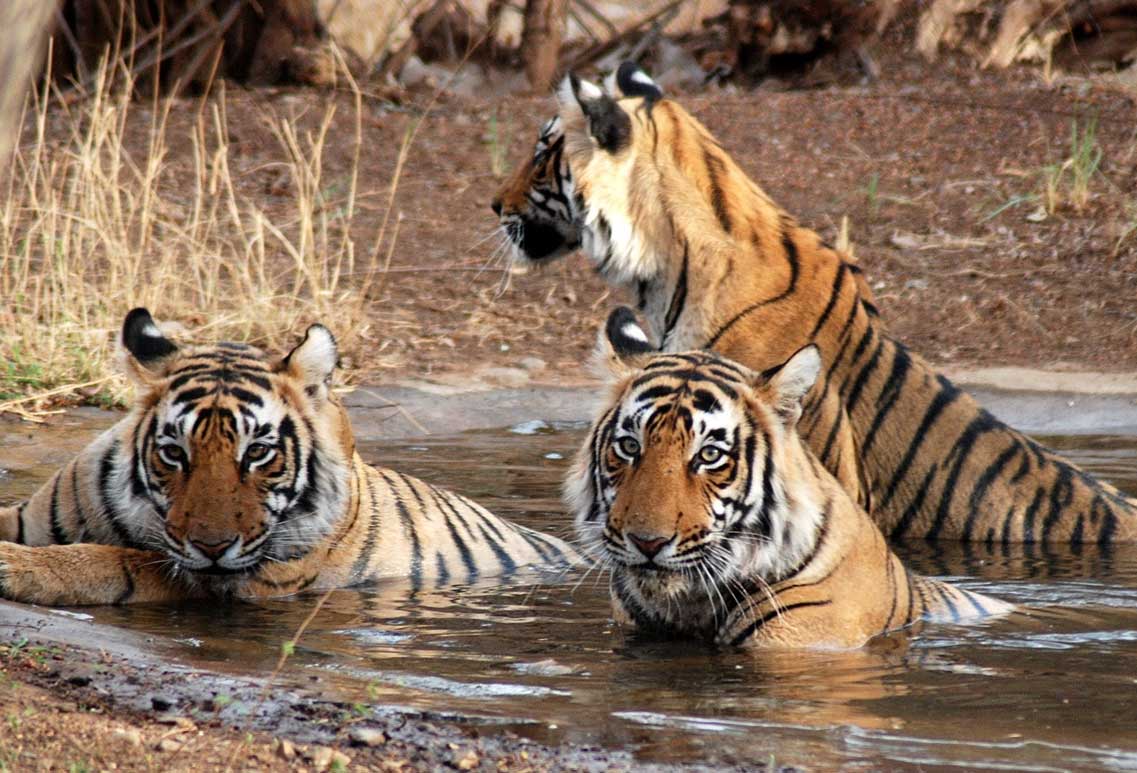
When it comes to breathtaking destinations, South India has it all. You'll find everything you're looking for, from hill stations and backwaters to wildlife sanctuaries, historical monuments, waterfalls,...
Describing India is no easy feat, as it is a diverse blend of people and places, with a mix of traditions and cultures that come together in a...

Explore the exceptional destinations in India while enjoying the best travel services. Our tour packages are meticulously designed by the on-the-ground knowledgeable travel consultants for an exclusive private experience.
7 Nights - 8 Days
11 Nights - 12 Days
14 Nights - 15 Days
11 Nights - 12 Days
3 Nights / 4 Days
5 Nights / 6 Days
6 Nights / 7 Days
9 Nights / 10 Days

Here we share ideas that are truly meant to make your India Trip planning a cake walk experience
Are you holding back your India travel idea just because of budget constraints ? Read this blog...
The astonishing beauty and culture of Rajasthan is the most attractive feature that makes travelers around the...
India and its unique diversity is the most distinguished thing that makes it so popular in the...